
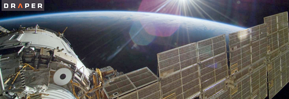
The challenge: New constellations of small satellites will launch in the near future, generating a deluge of imagery for analysts to sift through to find patterns and answers to perplexing issues.
To help prepare for the onslaught, Draper is sponsoring a contest for bright/creative/audacious contestants to demonstrate the skills of intelligence analysts or crime scene investigators as they develop online tools to analyze satellite imagery and solve this vexing dilemma.
The contest: Draper is sponsoring the Chronos Data Science Contest, which will monetarily reward competitors who come in first, second or third place for developing new tools to solve a puzzle using daily aerial pictures of California as a stand-in for satellite images. Assembling a week’s worth of pictures of the same location in proper chronological order requires contestants to create and demonstrate new tools that can be applied to the expected hundreds of terabytes of daily data from the new constellations.

Draper is providing the aerial imagery and funding for the contest, which starts on April 29 and is run by Kaggle, a platform for predictive modeling and analytics competitions. First prize is $30,000, followed by $20,000 and $10,000 for the runners up.
Draper’s own work in data science includes models that predicted economic, political and cultural characteristics with an 85 percent success rate using commercial satellite imagery of Afghanistan. The company is demonstrating broader effectiveness of those models using imagery of Sub-Saharan Africa under contract to the National Geospatial-Intelligence Agency. Draper is also contributing expertise in parallel processing, image database analysis and pattern recognition to BridgeSat, Inc., as it plans for a network of optical communications ground stations and laser-linked communications satellites, enabling the system to deliver massive amounts of data from planned small satellite constellations in a fast, cost-effective manner.
According to Kim Slater, who leads Draper’s small satellite initiative, “This work will ultimately help analysts uncover trends related to climate change, natural disasters and public health crises. Combining more frequent imagery with big data analytics will yield more actionable intelligence that enables better decision making.”