
[SatNews] More than 85 million square kilometers of fresh basemap imagery from Airbus Defense and Space is now available in ArcGIS Online.
This announcement follows the signing of an agreement between Airbus Defense and Space and Esri for access to select sets of Airbus Defense and Space imagery. Through this agreement with Esri, ArcGIS Online users will have access to a near global coverage with Airbus Defense and Space’s SPOTMaps 2.5m, seamless mosaic product, as well as very high resolution 50cm Pléiades imagery products over major cities worldwide. These fresh datasets will be used to enhance the existing Esri ArcGIS Online World Imagery Basemap, one of the foundation datasets available worldwide to all Esri users.
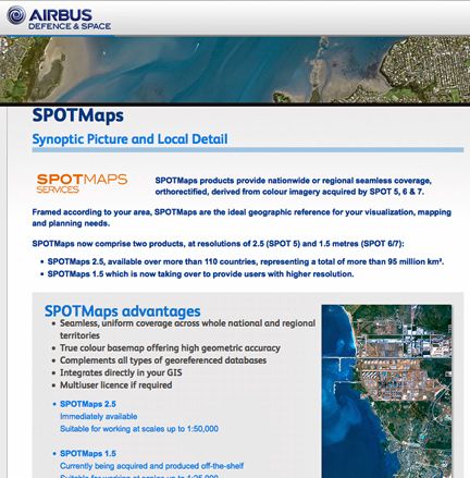
The seamless SPOTMaps 2.5 mosaic provides users with a high-end, seamless basemap over most of the world to be used as a backdrop for many GIS applications. This mosaicked data is enhanced by fresh Pléiades imagery, giving ArcGIS Online users updated information over major cities worldwide. Imagery will also be available, on demand, for deployments through the Esri Data Appliance solution, and more will become available through the end of September 2014.
Airbus Defense and Space and Esri will continue to expand their partnership through additional innovative services in order to better serve Esri partners and users worldwide. Stop by the Airbus Defense and Space booth #1215 at Esri UC, in San Diego, July 14-18, 2014 for more information.
The Airbus Defense and Space SPOTMaps infosite is located at http://www.astrium-geo.com/spotmaps/