
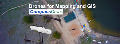
The Compass Family of businesses introduces CompassDrone™ to provide airframes, software, services and support to Geospatial Professionals for UAS remote sensing data collection.
For industrial drone based Imagery, point cloud or IR data collection projects, CompassDrone™ can match the correct airframe and software to get the required results. CompassDrone™ is a division of CompassTools and sells DJI®, Trimble Navigation Limited® and Swift Radioplanes® airframes with the processing software to produce products to support the imagery professional. CompassDrone™ is the first Industrial dealer for DJI®, the world’s leading drone manufacture.
New FAA Part 107 regulations released this week empower organizations to use fixed-wing and rotary wing drones as an important tool to collect small and medium size areas of interest. Ideal for agriculture, mining, landfills, construction, tower inspection, golf course projects and more that require accurate images for design, planning, maintenance and volumetric determination. CompassDrone™ supports organizations to operate within FAA regulations.
CompassDrone™ is a one-stop-shop providing services and spare parts for the airframe. Rental packages are available for qualified fliers to get systems on demand. Sales, rentals, support and training of GPS survey equipment for ground control measurement are also offered. Plus, image compression from LizardTech® makes moving large images far more efficient.